
Battle Mountain
April 3, 2021
Miles: 0.45
Elevation Gain: 273 ft
Gaia Track
100 Peaks Challenge #44
Bernardo Mountain
April 3, 2021
Miles: 7.32
Elevation Gain: 793 ft
Gaia Track
100 Peaks Challenge #45
Afoot & Afield 5th ed. Trip #46
Mount Israel
April 3, 2021
Miles: 4.37
Elevation Gain: 961 ft
Gaia Track
100 Peaks Challenge #46
Last weekend was a trinity of hikes appropriate for the day before Easter Sunday. Battle Mountain was our first peak of the day. In the pre-dawn light we climbed up the short-but-steep neighborhood hill toward the brightly-lit white cross that beckoned from the summit. Later in the day there would likely be Easter services held here, so getting this one done before daylight was, ahem, a Godsend. Before heading out on this hike, Casey sent me some info about this peak – apparently the cross atop it is to memorialize the nearby Battle of San Pasquale. Scroll down to the “Legacy” section of the Wikipedia page to learn that the cross was erected on Easter Sunday in 1966!
After knocking that one out in a half hour or so, we took a short drive over to the Bernardo Mountain trailhead, alongside highway 15. This was the longest hike of our day, but logistically it made sense to do this one second. As with all the hikes today, I had never done this one before, so I was not aware that adjacent to this trail is the Lake Hodges Bridge, which is apparently the longest “stress ribbon bridge” in the world! The day had dawned thick with fog, limiting the views but keeping the temps nice and cool. The climb was gradual and lined with lilacs. There were a few other hikers on the trail but not too many. This one is harder to squeeze into my Easter theme, but certainly there were plenty of Saints Bernard, so hey, it fits.
Our third hike today was a bit further west. Most folks know of this peak as just an Elfin Forest overlook. We only learned of its name, Mount Israel, from doing this challenge – certainly a fitting name for our Easter weekend of hikes. Elfin Forest is a popular area, and it was getting to be late morning and sure to be crowded. Thanks to Casey’s local knowledge, we drove to an alternative trail head off Del Dios Highway, and it was a good call. The trail to the summit was a bit shorter from this trail head, which usually means steeper, and this was no exception – it was a butt burner! The weather was our friend all day today – the sun did not break through the clouds until we started on the descent. We made a bit of a loop on the way back just for some variety, and to enjoy the views over Olivenhain Reservoir.
Three more hikes down and it wasn’t even noon on Saturday, yeah!

The cross on Battle Mountain 
Battle Mountain, #44 
Flowers along Bernardo Mountain Trail 
The world’s longest “stress ribbon bridge”! 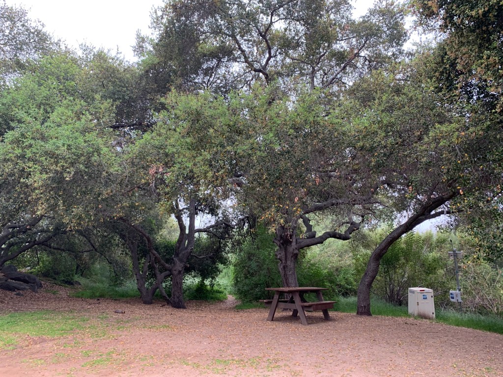
Lovely oak trees 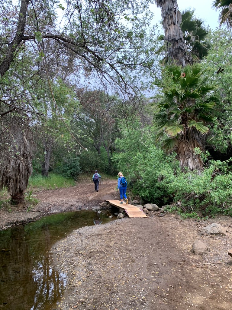
Crossing Felicita Creek 
Turnoff to start the climb 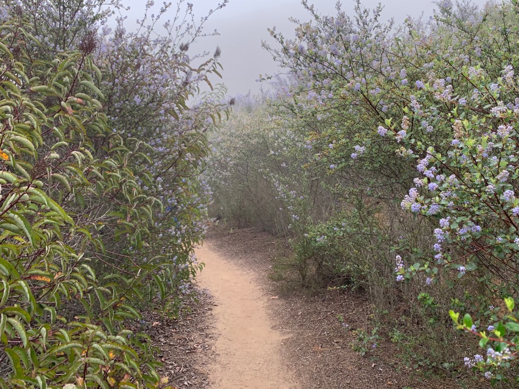
Lilac hallway 
Bernardo Mountain, #45 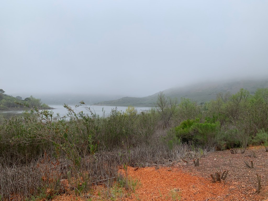
We can finally see Lake Hodges 
Lilac & Monkeyflower 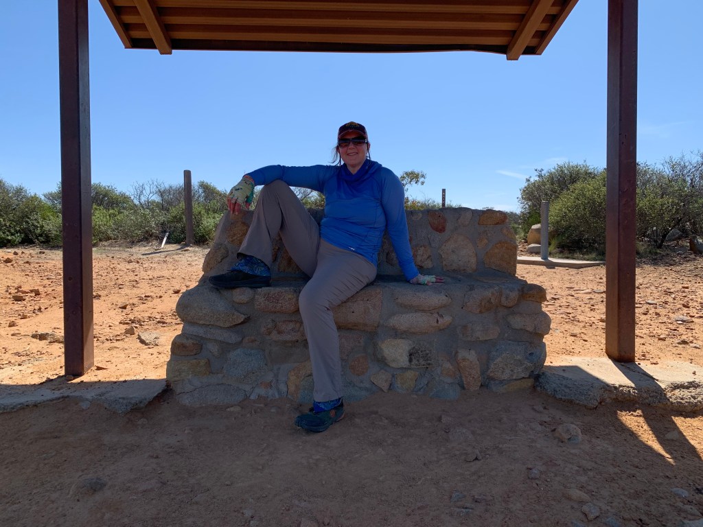
Resting at atop Mount Israel 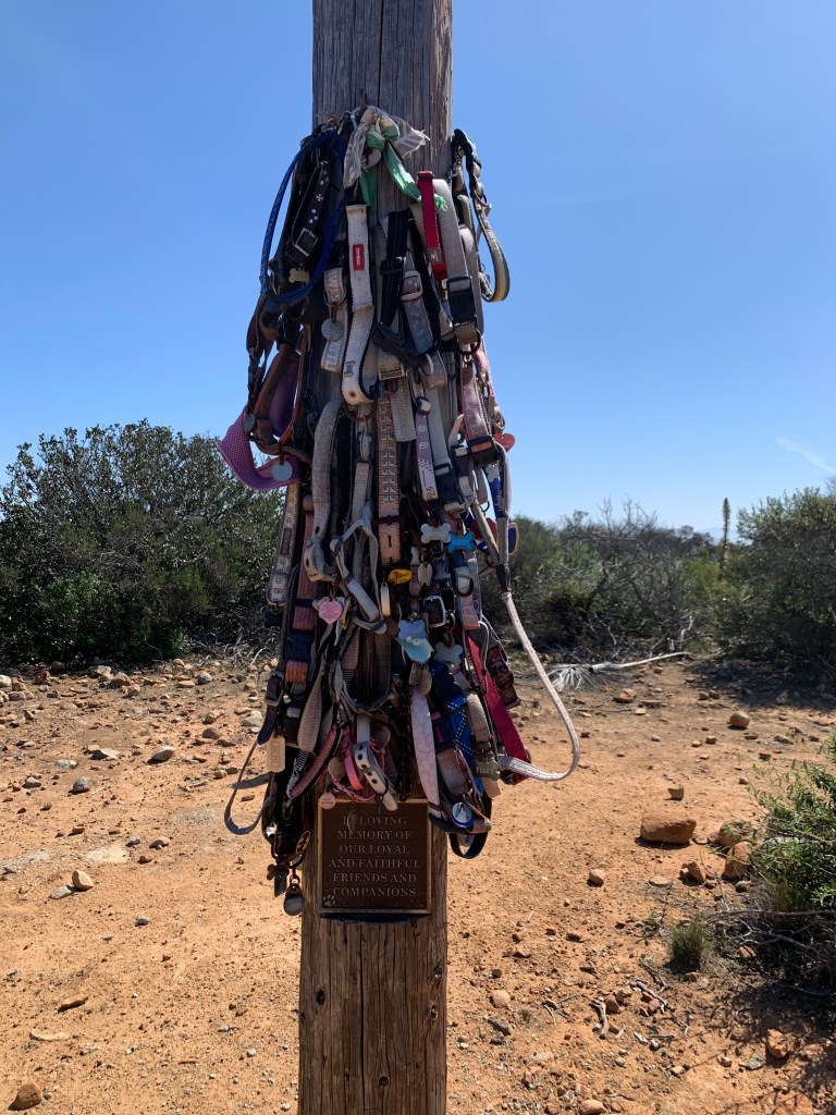
Awwww!!! 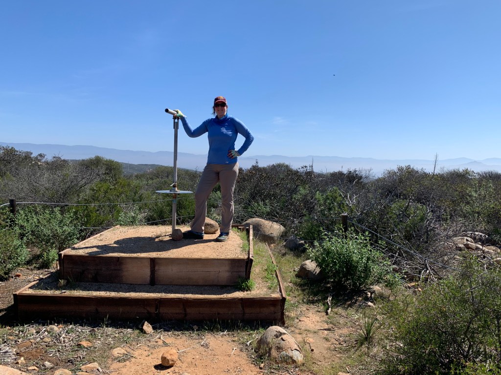
Mount Israel, #46 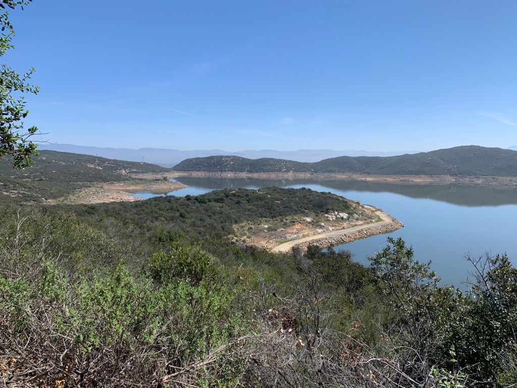
Olivenhain Reservoir 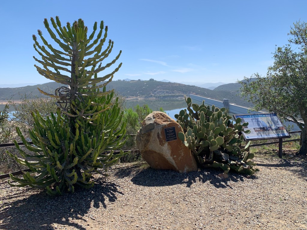
This is a well-loved area 
The sun broke through just as we were nearly done – our umbrellas came in handy.
