
Bell Bluff
May 15, 2021
Miles: 7.33
Elevation Gain: 1,673ft
Gaia Track
100 Peaks Challenge #63
Gaskill & Lawson Peaks
May 16, 2021
Miles: 7.47
Elevation Gain: 2,050ft
Gaia Track
100 Peaks Challenge #s 64 & 65
Afoot & Afield, 5th ed., Trip #192
My original plan for this weekend was to renew my Wilderness First Aid certification. The class was scheduled for two eight-hour days, starting at 9am each day. My fabulous peak bagging pals were willing to work around my schedule – we were going to hike two easy/short peaks early both days so that I could get to the class on time. But a few days before the weekend I was given the option of switching to a one-day, six-hour recertification class later in the summer. YES PLEASE!!! Given the forecasted cool weather it was great not to waste the opportunity, and instead to tackle some harder peaks.
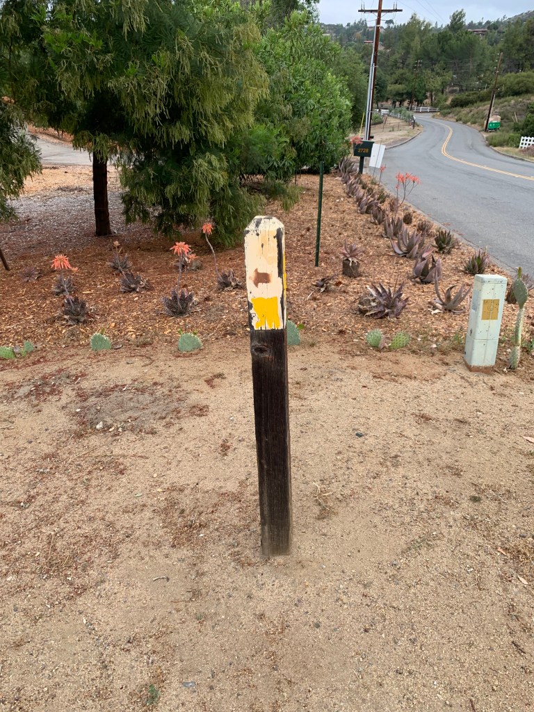
First up was Bell Bluff. This peak is one I’d not heard of prior to embarking on this challenge; ironic, since it was just about in my backyard! My car routed me to the trail head via backroads about twenty minutes away. We parked on a lovely neighborhood street in the town of Alpine and hit the trail. The hike initially passed some homes and we encountered a friendly woman still in her pajamas walking her dog – unleashed, because clearly this was their daily routine and she usually has the trail all to herself. The dog was growly and barky – oh no, intruders!!
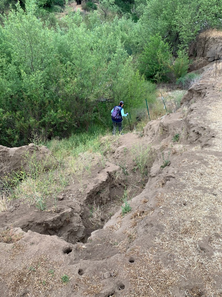
Very soon the trail dropped steeply down to cross a murky green branch of the Sweetwater River with a board to help cross it. Up the opposite bank we waded through tall grasses, noticing at least one tick, a couple of fuzzy caterpillars, a ladybug, and a few other bugaboos within the space of a few paces. I did a tick check when I got home, for sure! It was short-lived and soon our normal San Diego hiking terrain took over.
Bell Bluff’s hiking profile is sort of a witch hat – gradual up the brim, then sharply upward for the hat. Actually the hat part was small, so maybe more like a witch’s tit? The whole way we were hiking on the brim we were looking toward our peak, looming over us. We’re gonna climb that, really?? And yes, that was it! Of course I blew right past the well-cairned turnoff to the steep bit. A quick backtrack and we began our climb. There was only one sketchy slippery section, and one small tricky bouldering section. Other than that it was just steep, and soon enough we were at the summit. Peak #63!
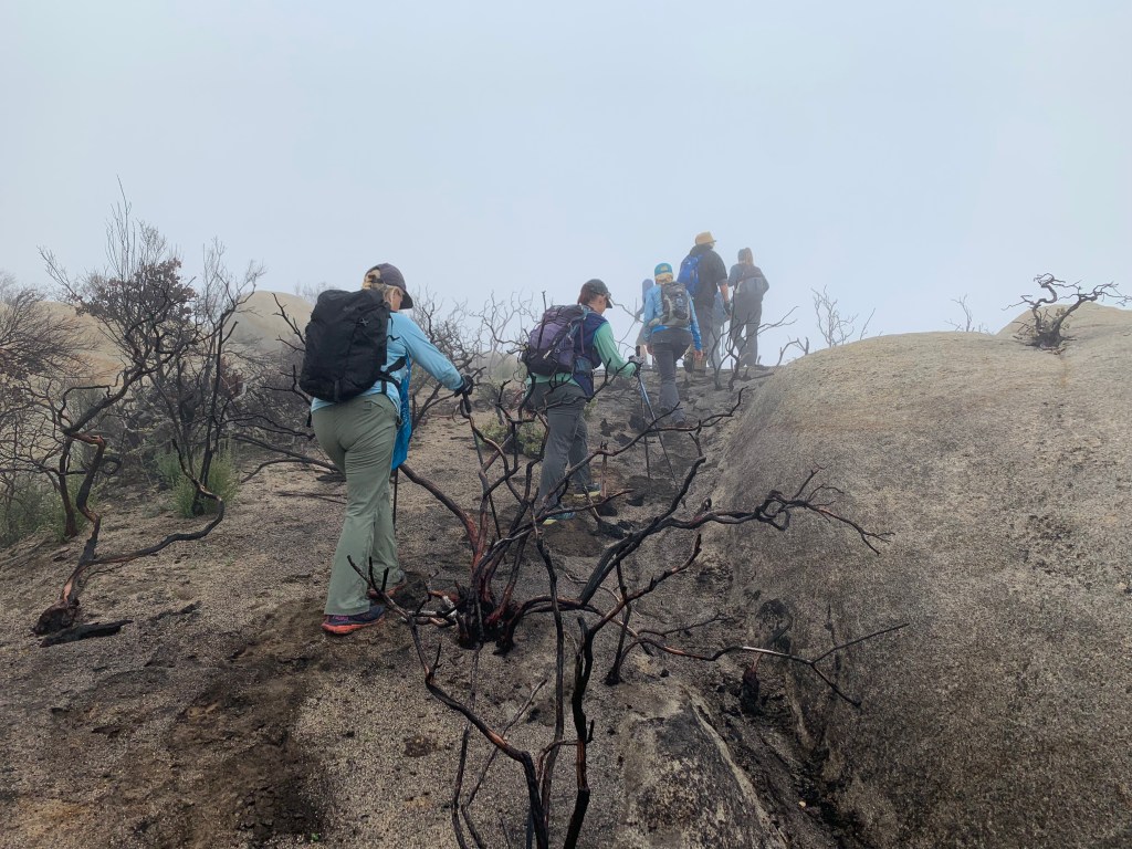
Sunday was even cooler than Saturday and called for something a bit harder. We somehow managed to collect a pretty good-sized group of nine super strong hikers and we hit the trail to the dual peaks of Lawson and Gaskill. Yes, I said Lawson! Not only is this hike also in my backyard, but it is named after ME! And yet somehow I’ve never done it – how can that be!?
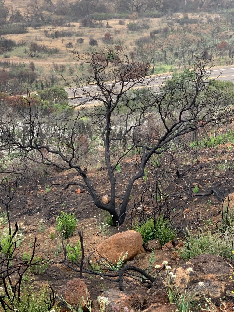
Less than a year ago this area burned in the Valley Fire, and for a while the road up to the peaks was closed. We never found explicit confirmation that the trail was open, but plenty of trip reports led us to believe that it was good to go, and so we went. This hike starts on a fire road – in the past the gate would sometimes be open and we have friends who have driven up, but now it has enormous boulders across the road that seemed to have been placed there intentionally to keep vehicles off. No one’s driving this road nowadays.
The trail first passes by the turnoff to Lawson Peak and we decided to continue on to bag Gaskill first. There are two routes up Gaskill: one continues along the fire road, and the other turns at some cairns to bushwhack up. We decided to make it a loop and headed up the bushwhacking route first – which was probably not nearly as bushy as before the fire.
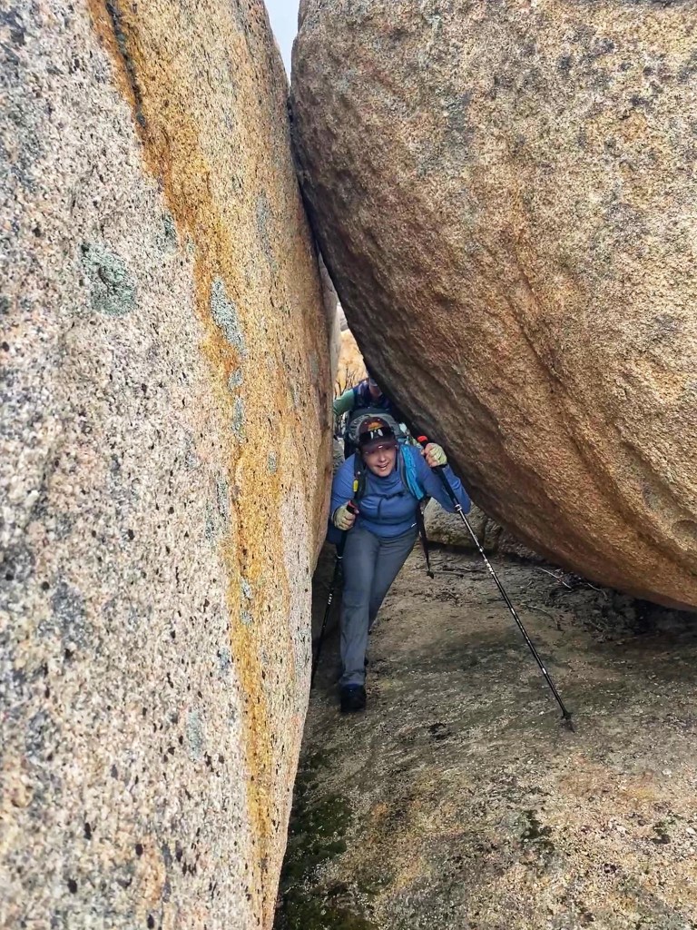
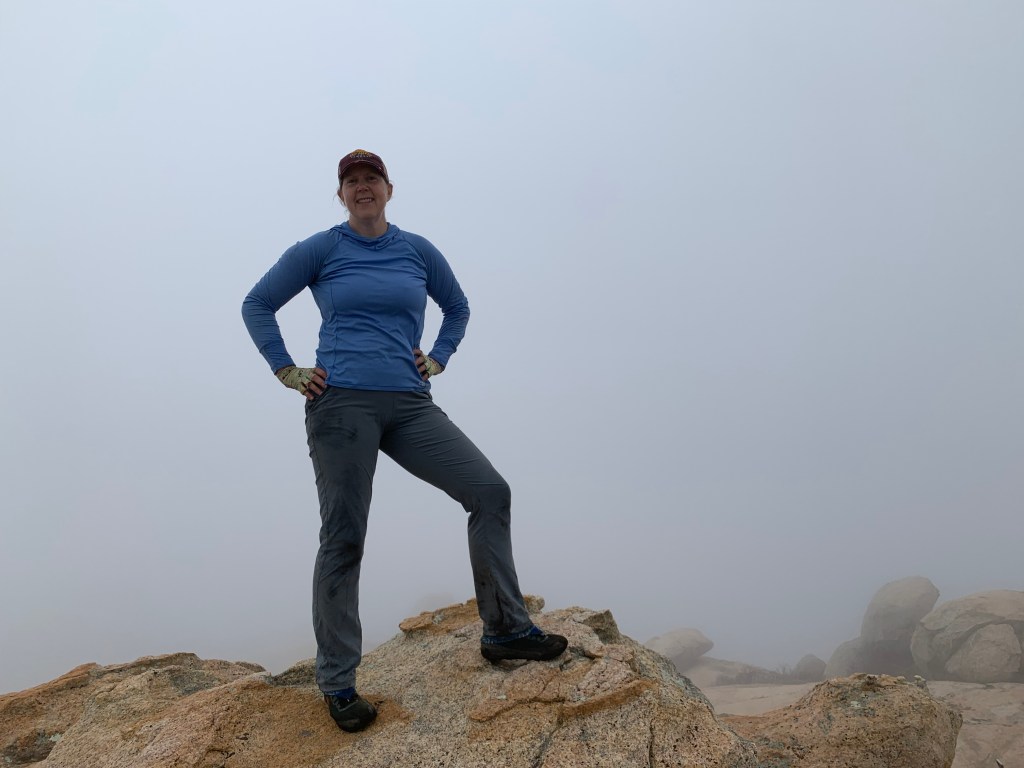
The weather today was cool and foggy, and the views were obscured all day. The mist swirling around the burned out tree skeletons made for an eerie scene. It was fun navigating through the gloom, and soon we arrived at the summit block. We worked our way around it until we found a good route up, through a rock crevice and then up to a tricky spot. I’d brought some climber’s webbing but there was no great place to attach it to – and everyone did fine with us all helping each other up. The weather atop the summit block was even cooler with a bit of a breeze – lovely! #64!
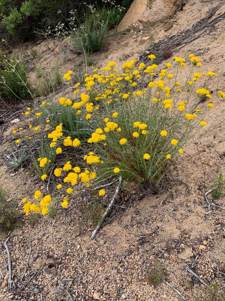
Down the backside of the peak back toward the road, we crossed the most beautiful portion of the hike yet, with wide open meadows and “pioneer” flower blooms abounding. (Unfortunately this included the feared poodle dog bush, beware!) I was starting to fall behind the speedy group because I could not stop taking photos!
Finally we arrived back at the saddle and started up the shorter – but more boulder-y – spur trail to Lawson Peak (after talking some other hikers out of attempting it with their small dogs). We picked our way up the trail until we arrived at the infamous Lawson chimney. A rope was in place, but it kept pulling out which made me nervous, so I did my best to climb up without it (mostly successful) until I was able to inspect it. It was fine, and the others worked their way up as well. The chimney tops out inside of a cave (very cool) and then up through an opening, a bit more bouldering, and then we were at the summit. #65!
Bell Bluff
Descending between private property signs 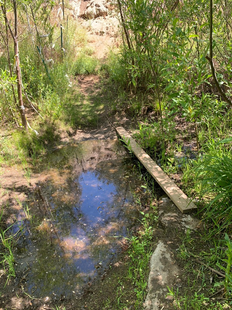
Sweetwater River (maybe not so sweet…) 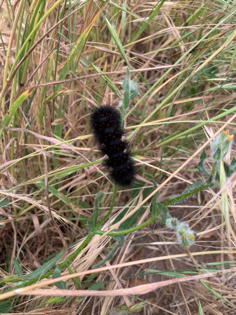

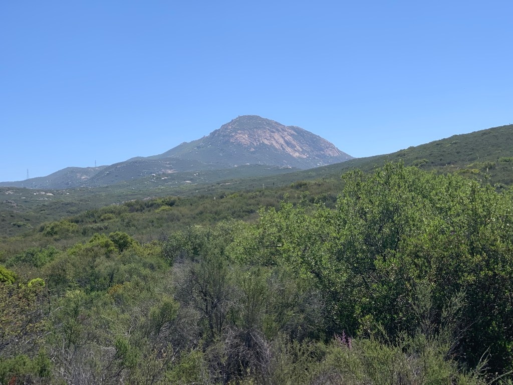
We are gonna climb that! 

Yep, I blew right past those cairns! (In my defense, so did everyone else, LOL!) 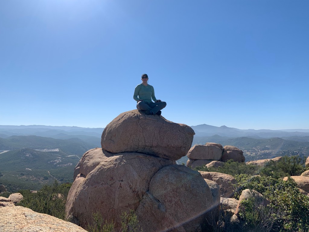
Ohhhmmmmm…. 

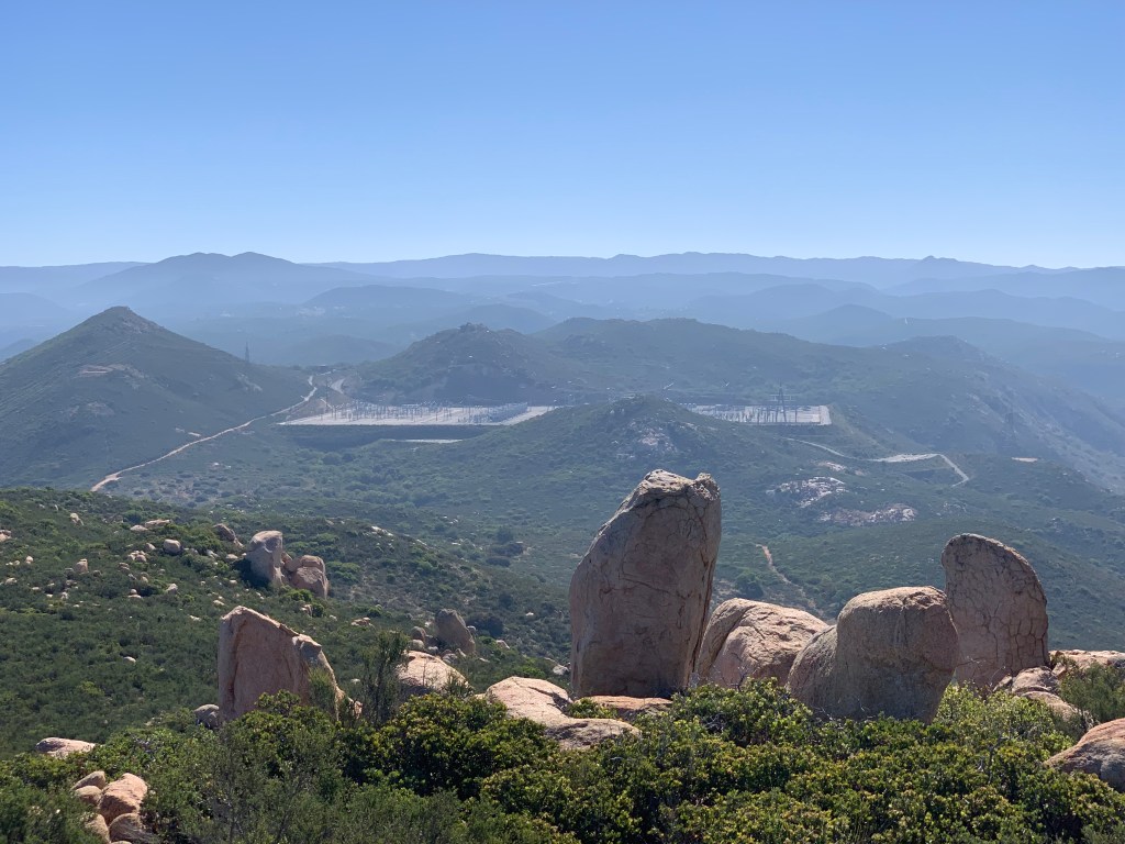
Suncrest Substation
Gaskill & Lawson Peaks

Cairns leading the way to Gaskill 
Bushes got a bit low… 
Spooky! 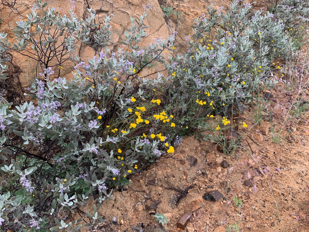


Lawson Peak in the fog 


Gaskill! 


The Lawson chimney 
Lawson atop Lawson! 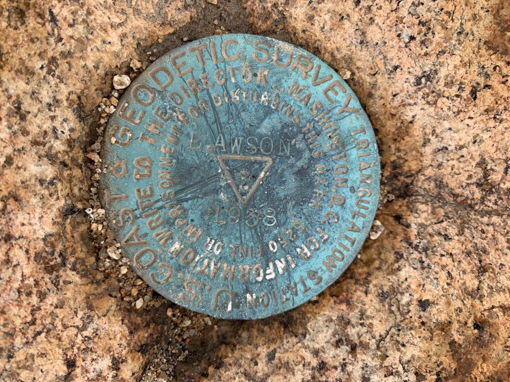
The Lawson benchmark

What a beautiful view!