North & South Fortuna Mountains
March 8, 2021
Miles: 5.6
Elevation Gain: 1,134ft
Gaia Track*
100 Peaks Challenge #s 33 & 34
*I don’t really recommend this route due to one section that is better for mountain bikers. See post for full details.
Our typical routine for this challenge has been to hike both days on the weekend: one hard day and one easier day. Well, last weekend’s challenge – Mile High Mountain – was hard enough for both days, and we took Sunday off. By Monday, Casey & I decided we were up for something not too hard, and we opted to stretch our legs on North & South Fortuna in Mission Trails.
I have hiked both of these peaks a few times before. There are probably a half dozen routes that can be taken, with one of the nicest being a 6.5 mile loop starting from the West Fortuna Staging Area in Tierrasanta – do it clockwise and you get to descend on the infamous South Fortuna stairs. Today, however, I needed to get the thing done – I could only play hooky from work for so long. So I pulled up a map and pieced together the shortest route I could find – a five-mile out-and-back route that also started in Tierrasanta, from the Corte Playa Catalina trailhead.
Casey & I met up in the quiet neighborhood and got started. There is construction taking place at Mission Trails right now, and it is in full swing in this location, but we got past it quickly. This route turned out to be a bit of an inverted hike, as the trail descended initially, crossing a dry stream with a wooden footbridge.
This portion of the hike is clearly used more for mountain bikers than for hikers, and we did see a couple of bikers out there. The trail rolled along with sudden up and downhills. It looked like fun, if you were on a bike. It was pretty annoying as a hiker. Eventually the roly poly trail merged with the main route and climbed steeply to the familiar Fortuna saddle.
We hit North Fortuna first. We got to the point on the map that was marked as North Fortuna – both in Gaia and on Peakbagger – but apparently this is not where the park thinks the peak is. We looked around for the summit marker for a moment, but quickly realized it must be further along the trail – and there it was.
We were hustling, and we wasted little time backtracking to the saddle, and then up the slightly longer but more gradual trail to Fortuna Mountain’s slightly lower southerly neighbor. The trail was perfumed with blooming lilacs, and I almost stepped on a toad. Got to the broad summit, took our pics, and headed back the way we came.
I almost made it home in time for my first conference call – five minutes short, so I dialed in from my car. My favorite thing about these weekday hikes is that I just feel so accomplished after I get home – I’ve started my day by being outside and enjoying nature. The downside is feeling rushed, which I did today. Oh well, it’s still a walk in the park.
Studying the map a bit more afterwards I am now thinking that a better short route would be to start from Mission Dam. It’s only a few tenths of a mile longer than the route we took, and would be a more enjoyable hike, avoiding the roly poly trail. Of course parking at Mission Dam has its challenges (the gate has to be open, and there are few spots) – but better if you can pull it off.

North Fortuna 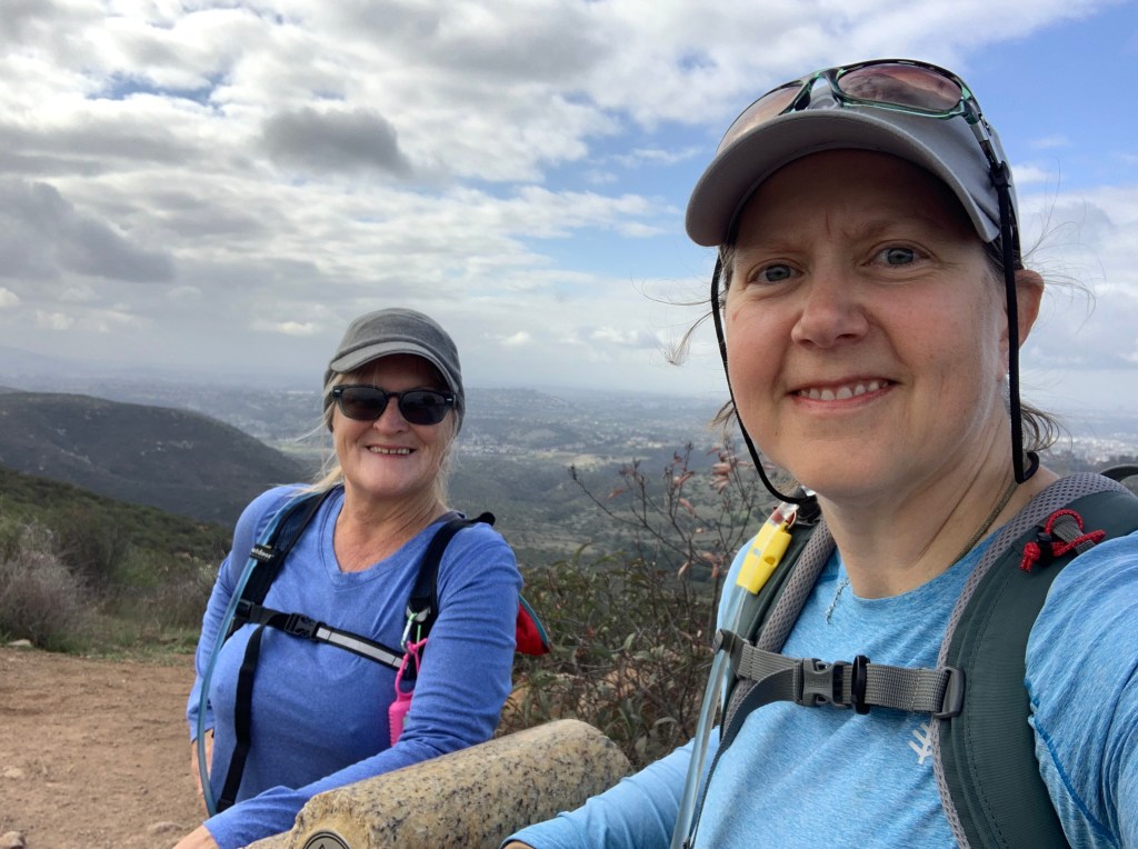
Summit Selfie! 
Lilacs 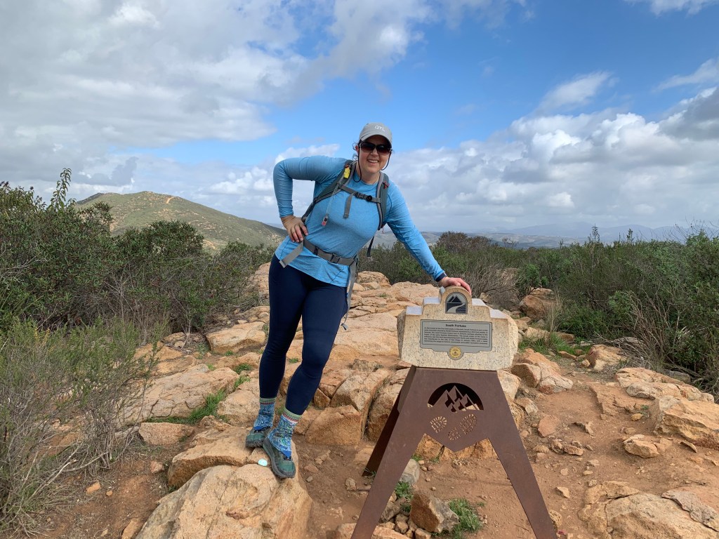
South Fortuna 
South Fortuna
