
Chariot Mountain
April 24, 2021
Miles: 5.68
Elevation Gain: 1,279 ft
Gaia Track
100 Peaks Challenge #57
Oriflamme Mountain
April 24, 2021
Miles: 4.37
Elevation Gain: 856 ft
Gaia Track
100 Peaks Challenge #58
The trailheads for both of these peaks are along Sunrise Highway north of the Mount Laguna Recreation Area. But both peaks are east of the Laguna Crest, with the trails descending into canyons before rising up again to their respective peaks. Even though these seem like “Mount Laguna” hikes, they are really both desert hikes, nearly all within the boundaries of Anza-Borrego Desert State Park (Oriflamme’s peak itself is on BLM land). So even though I have said we must be done with the desert until the fall, we thought we could squeeze these two in before it gets even hotter.
This weekend seemed perfect – the weather was forecasted to be cool and breezy. Also Tad & I were planning on heading up to our property near Mount Laguna this weekend to get some work done (building a latrine), so it was convenient for me personally. When we have multiple hikes planned, we always like to do the harder hike first, and that was Chariot Mountain. At 7am we met at the Pedro Fages trailhead. Today we had company – Bianca joined us! Yay! I have not hiked with her in quite some time, so it was great catching up with her.
Both of these hikes are inverted hikes, meaning they descend before ascending. The route to Chariot started along a singletrack trail but soon diverged across an open grassy meadow – there were even two small marshy streams we had to hop across. At just under a mile we intersected with the Pacific Crest Trail and then soon descended steeply along a drainage channel with some minor bushwhacking until we arrived at the Mason Valley Truck Trail.
We had discussed possibly driving part of this route to shorten the hike. Kali & I had hiked this section of the PCT recently and encountered a few cars, so we knew it was possible. I did not do much research, but I’m pretty sure it’s a long dirt road that makes its way up from Banner, way over past Julian. Given the short length of this hike versus the logistics of a long 4wd drive, it was not worth it. So, we road walked this portion instead.
Finally we came to the turnoff toward the peak, “marked” by a pile of woody dead brush. The slope was not too steep and soon we reached the ridge and then the summit. The peak marked in Peakbagger as “Chariot Mountain” is not the same as the summit with that name on all of our maps. I don’t know why there is a difference, but since the peak labeled on our maps would have been a much longer and more difficult hike, we were ok with it.
On the way back the conversation was flowing and the navigation was forgotten for a moment until I realized I was briskly leading us down the wrong ridge – whoops. (That’s the little detour you can see in my Gaia track.) We got back on track quickly. The hike back up the steep drainage was hard – inverted hikes are always demoralizing. (Except the Grand Canyon. Hiking in the Grand Canyon is never demoralizing.) As we neared the top, a biplane came buzzing over our heads low to the ground – this trail is near an airstrip off the S2 and we guessed it came from there.
The flowers in the meadow were stunning in this direction. On the way out, the wind was blowing their little faces away from us; and also we were hiking into the sun. On the way back all the flowers were facing toward us and it was like we were walking on sunshine! 🎶
Back in our cars we headed south to the next trail. I swung by the Sunrise Trailhead to drop a few gallons of water and some snacks at the cache there for the PCT hikers – the spigot that is there is broken, so us local trail angels are trying to keep it stocked with water jugs (that’s a tough water carry).
I joined the others at to park at the Lucky 5 Ranch turnout – we had not carpooled today and squeezing another 5 cars in there was tight. The trail to Oriflamme Mountain was entirely along a dirt road. There was ample evidence that the road is used, but back at home studying my map I can’t figure out how a driver would get there. Another inverted hike, but fortunately this one had no off-trail steep bits. Another hike with beautiful flowers – it’s that time of year, after all. The off-trail trek to the summit was straightforward with a bit of a use trail here and there. The summit itself was broad, with a couple of boulder piles, and it took us some poking around to find the register (it’s on the southwest pile) and decide which boulder pile was the highest (the northeast one).
We were done for the day just before 1pm. It ended up being pretty warm despite the forecast so we are glad we got these two peaks done now and did not save them for the summer. This is an easy weekend for me – I’m taking Sunday off!
Chariot Mountain
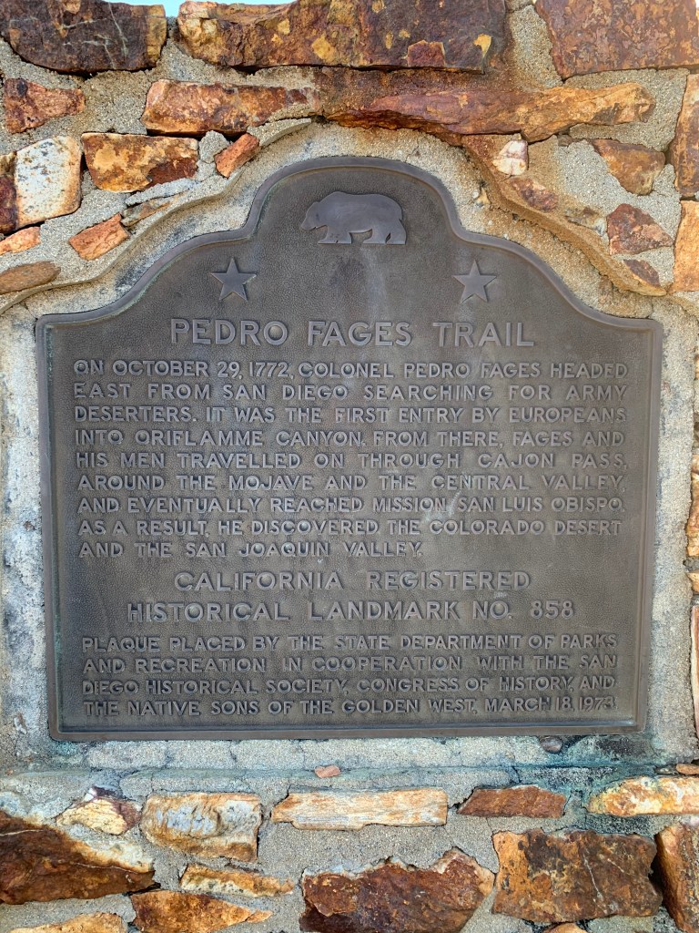
Hey look! This guy “discovered” the Colorado Desert!!! 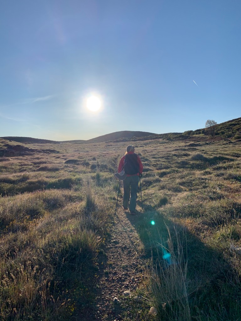
Good morning! 

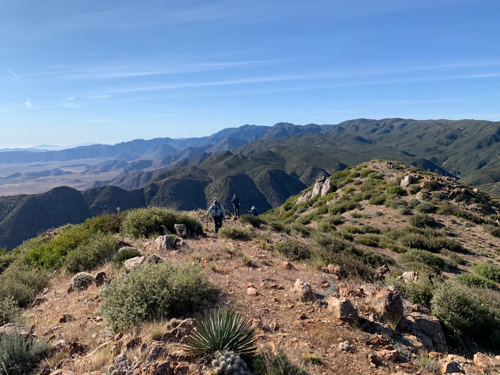
Coming up the ridge toward the peak 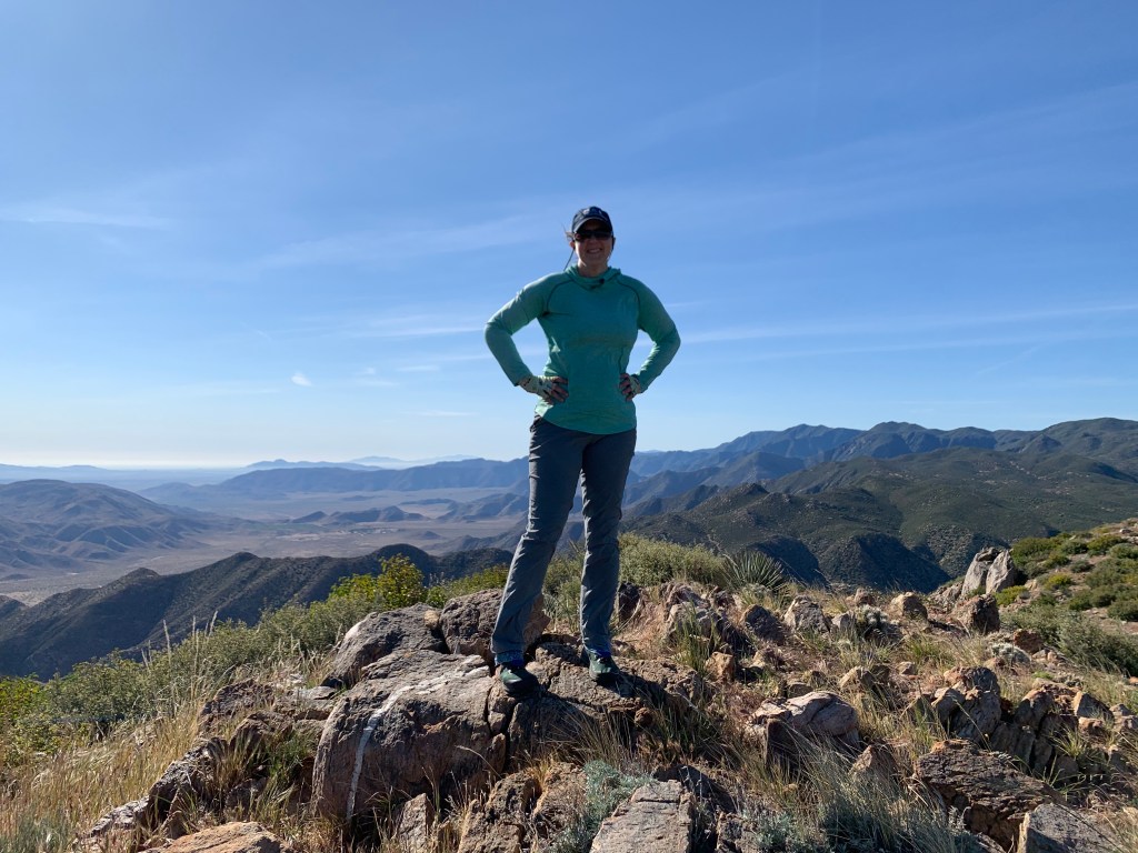
Chariot Mountain, #57 

It is beautiful everywhere this time of year!
Oriflamme Mountain

Oops… 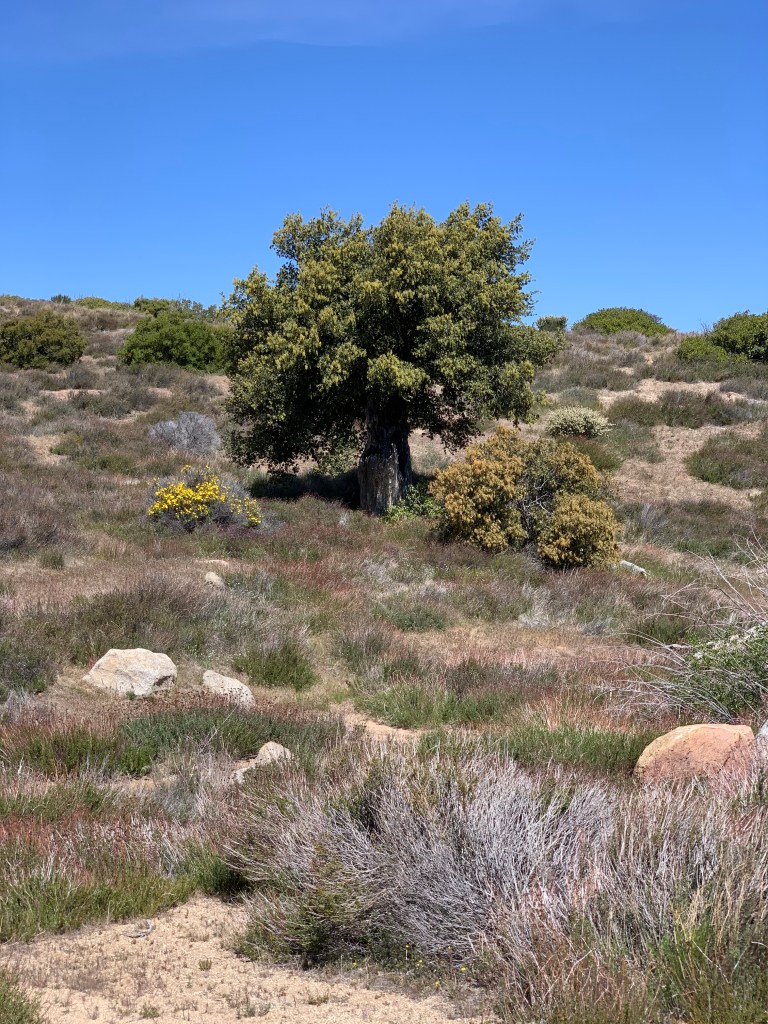

Oriflamme Mountain, #58
