
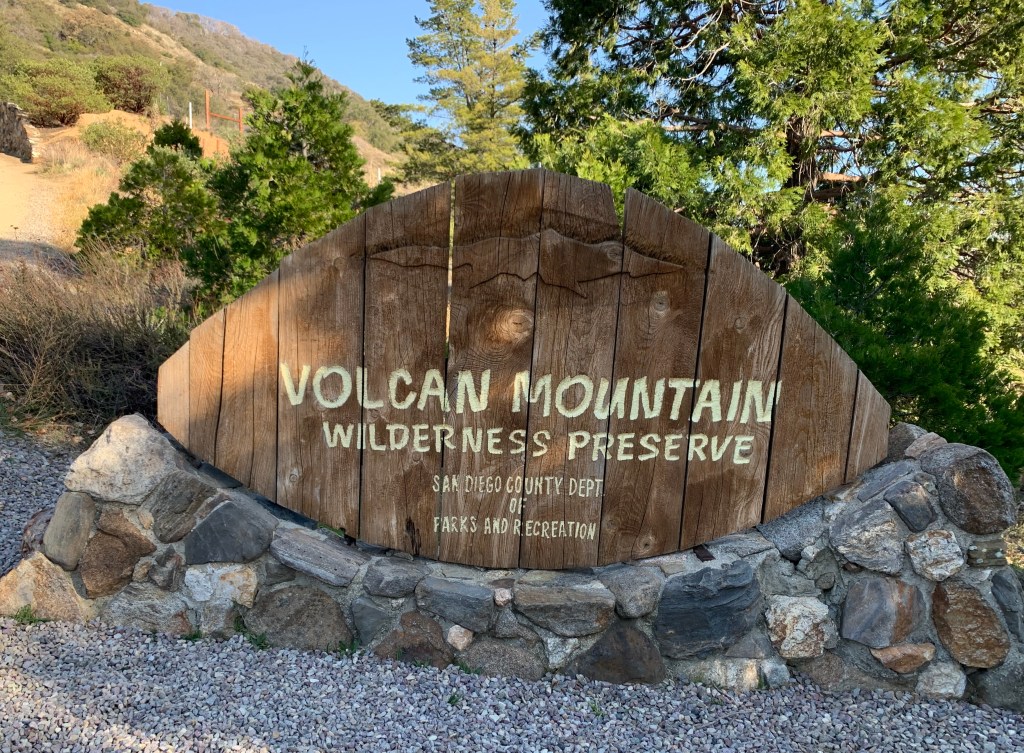
Volcan Mountain
February 27, 2021
Miles: 4.6
Elevation Gain: 1,121 ft
Gaia Track
100 Peaks Challenge #30
Afoot & Afield 5th ed. Trip #154
Villager Peak
February 28, 2021
Miles: 13.6
Elevation Gain: 4,826 ft
Gaia Track
100 Peaks Challenge #31
(And the third “V” peak, Viejas, I did last month!)
This weekend’s main event, Villager Peak, is one I’ve been anticipating for years. I first heard of this challenging hike during the Wilderness Basics Course which I took in 2016. Villager is the first peak arrived at when heading north/northwest along the main Santa Rosa Mountains ridge, and is often mentioned together with the next peak up, Rabbit Peak. The two peaks together form a long, waterless backpacking challenge that is infamous within the San Diego hiking community. We discussed attempting the full two-peak overnight challenge but decided against it. Rabbit is not on the 100 Peaks list (it’s technically in Riverside County – not San Diego County), and we decided we needed to stay focused.
Doing Rabbit & Villager together as a one-night backpack is a challenge, but there are much crazier people out there. In researching this hike, Casey shared a Youtube video with us of a couple not backpacking the route over two days, but doing it as a one-day trail run. Holy crap. This led me to discover a Villager-Rabbit ultra-run called Fear the Rabbit (cancelled last year, of course), with a “Bad Ass Division” requiring women participants to carry a 30lb pack, and the men to carry a 50lb pack. WTF!?
But the truly craziest adventure on this ridge that I learned about once I fell down this internet rabbit hole (HA!) was of a 2015 point-to-point traverse of the entire Santa Rosa ridge in one shot – 20 hours over 41.8 miles and 14,755 feet climbed. The traverse crossed Villager, Rabbit, Dawn’s, Toro, and Santa Rosa Peaks, starting at highway S2 in Anza Borrego all the way to highway 74 in Riverside County. Ho. Ly. Shite.
This all put our cute little walk up Villager into perspective, I suppose. We’ve been building up to this hike for several weeks now, and felt prepared. We decided we had enough in our legs to do a pre-hike, and Volcan Mountain in Julian, en route to the desert, fit the bill nicely. On Saturday afternoon we met at the trailhead and started up this lovely hike. There were a few other people there, including a local Meetup group with some acquaintances – always fun to see people we know out on the trail. We made our way up the main trail, enjoying the oak tree lined switchbacks, amused by a woodpecker and other lovely birds. At the top we bushwhacked our way to the benchmark amongst some trees and explored the broad summit. This peak is clearly well loved by its local caretakers. We made a beeline back down the mountain, again staying on the main trail, and were done with the hike in less than two hours, including our break at the summit. We had places to go!
From there we drove down the Banner Grade into Borrego Springs. Stopped again at Los Jilbertos to pick up dinner (don’t forget, it’s cash only!), and then continued along to the Arroyo Salado primitive campground. It was a gorgeous evening under a full moon, without a breath of wind. We were too hungry to wait so we dove into our burritos before bothering to set up our tents.
The wind did arrive however. A couple of hours after hitting the sack it picked up and it was not kidding around. When I set up my tent I did not know which direction it would be coming from, so of course that meant it was broadside to the wind. The smart thing to do would have been to get up and guy it out, but I didn’t wanna… So I did not sleep much. But with the excitement of the looming challenge, I still felt plenty rested the next morning.
We arose early and packed up under the bright moonlight. My right knee pain has been flaring up, having bothered me on Volcan Mountain despite the tape job my PT had done on Friday, and another layer that I’d added on Saturday. After adding yet a third layer of tape, we made the short drive to the trailhead and started our hike at 5:50am.
The first 1.5 miles of the hike are flat and fast. We were slowed down a bit by soft sand and an evil stealth cactus attack (ouch, poor Tara’s foot) but soon arrived at the base of the ridge. The hike up Villager is not technically difficult. Unlike other desert hikes we’ve done during this challenge, little navigation was required thanks to a clear use trail and a solitary ridge meandering its way up, up, up to the peak. It was steep and rocky in sections, but with very little scrambling. In places the ridge was exposed, with a cliff dropping straight down on the west side – this was beautiful on the way back down, but on the way up the wind had not yet died down and I found it a bit terrifying. But the real challenge for this hike is its length. You seem to go up steadily forever. In no time we were eye-level across the dry Clark lakebed with Coyote Mountain, which we’d hiked only two weeks ago – it had not seemed that low when we were on it, but from here it looked like this peak’s kid sister – and we weren’t even halfway to the top.
On our way up we met another gal named Torrey who’d spent the night only about halfway up to Villager. She had been berated the day before by another hiker who was on her way back down the mountain, telling her she was nuts to camp atop Villager; that she’d die in the wind. She was intimidated enough to stop early, setting up camp in a rock shelter that had been erected by past hikers. But this morning she was irritated, realizing that she certainly could have made it. She was young and strong and flew past us in no time. Near the summit there were plenty of places to camp – windy, sure; but we were wind-blown on the desert floor too. Hike your own hike, people.
We finally arrived at the summit. We were famished, so after retrieving the peak register (I added a new notebook to it) we settled in for our lunches. By the time we were done with all our summit chores – eating snacks, signing the register, taking photos, peeing – it was time to head back down.
My knee only hurts on the descent, so I was nervous; for me, the hard part was about to begin. I decided to add to my summit chores and redo the tape job from scratch. I ripped all the old layers off, and started afresh with my last two strips of sport tape. This turned out to be an excellent decision: once we got going and my muscles warmed up, there was almost no pain. Thank goodness!
We made good time getting back down. In fact maybe we went down too fast – by the time we neared the bottom, all eight of our feet were screaming at us to slow down. At the base of the mountain is a geological feature called the Lute Ridge, the largest fault scarp in North America. Of course we passed it on the way up, but now it took center stage as we descended. Somewhat demoralizing was our bird’s eye view, from over two miles away, of the cars reflecting at us in the trailhead parking lot. Cruel, to be so close yet so far!
In the end the hike took us about 10.5 hours, including a little over a half hour at the summit. It was long (did I mention it was long??) but we kicked butt. Ready to come back next week. What? Yes, it’s true – next weekend’s plan is to hit Mile High Mountain, on the ridge just east. We are ready!
Volcan Mountain
Let’s get started! 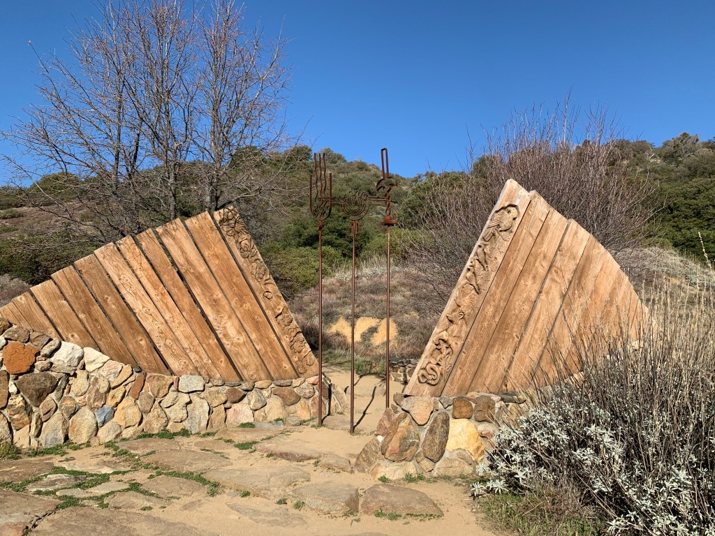
Gateway to Volcan Mountain 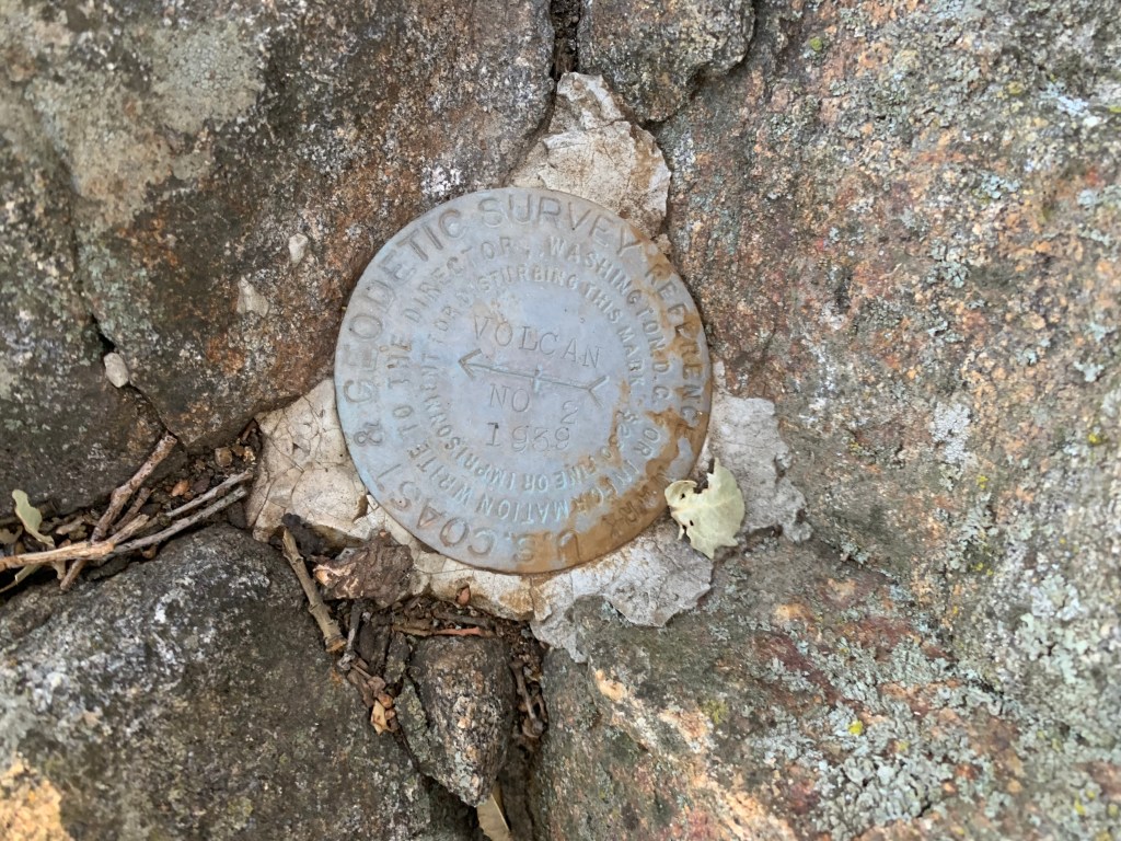
Volcan Mountain benchmark 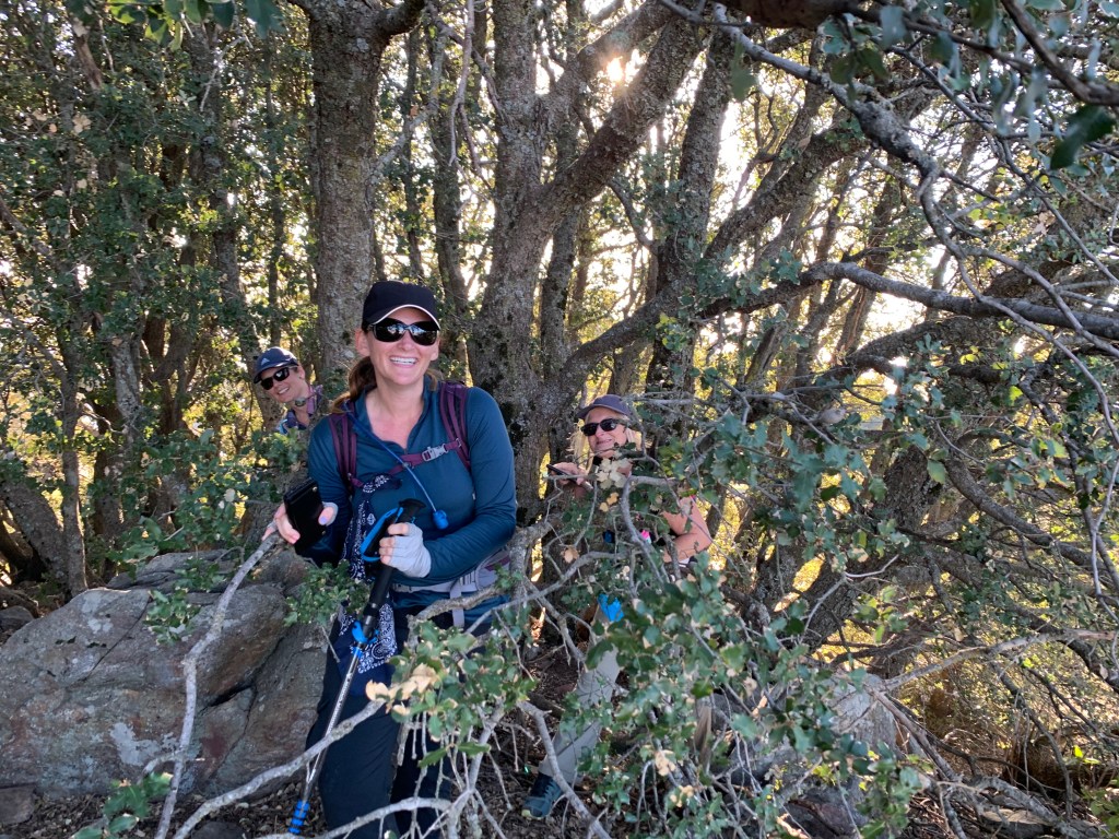
Peering out from the trees 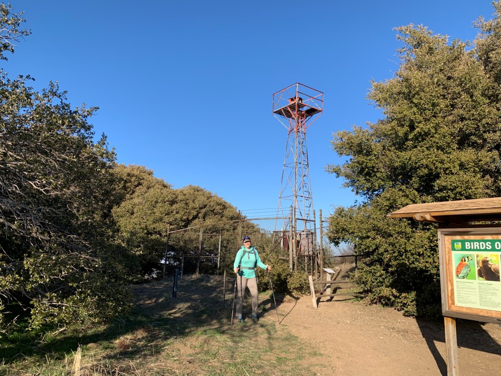
In front of the Volcan Mountain light tower 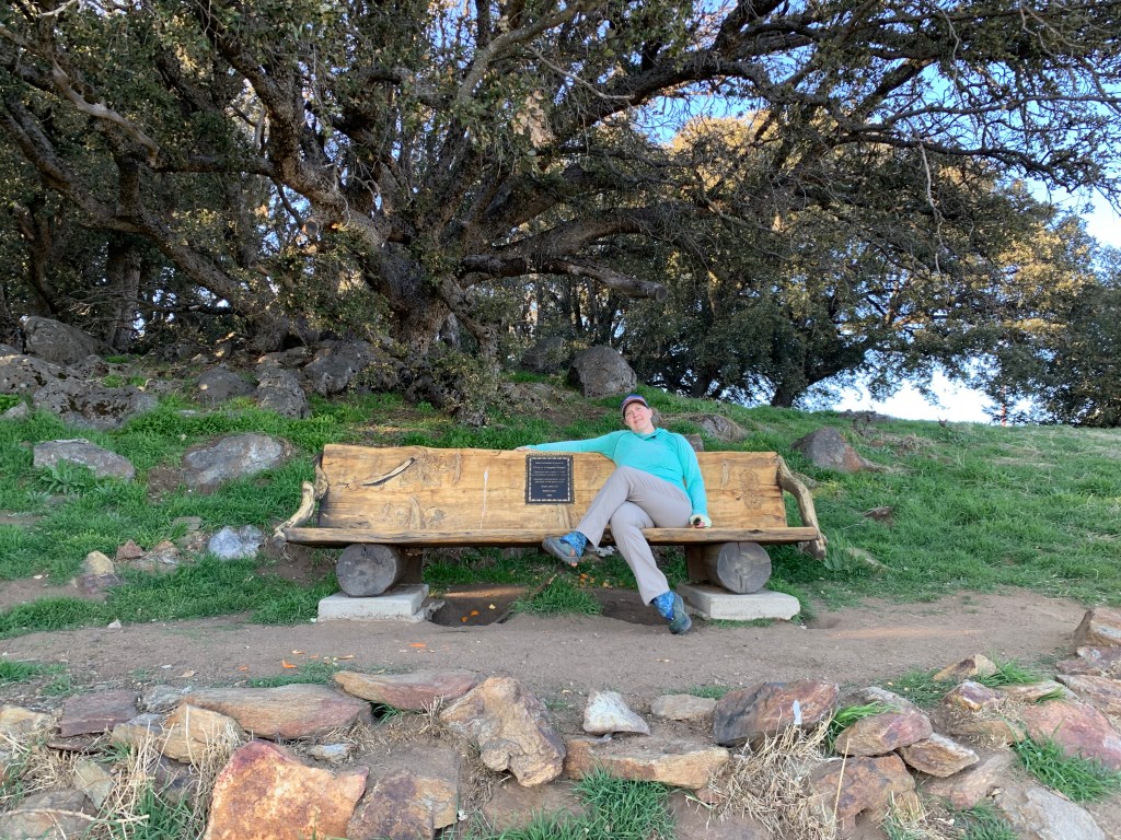
Lovely bench overlooking the view 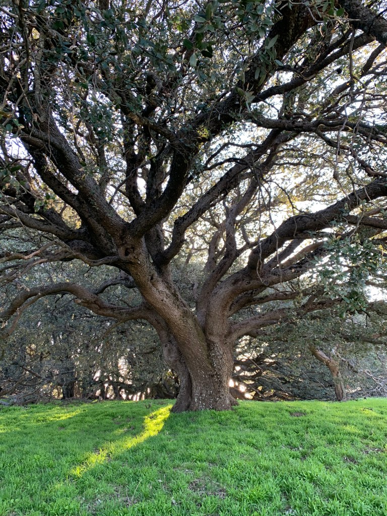
Oak tree near Volcan summit
Villager Peak
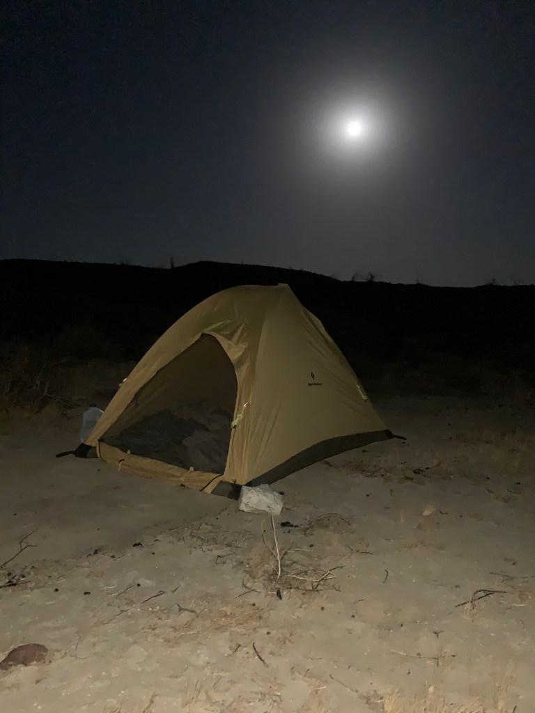
Camping under a full moon 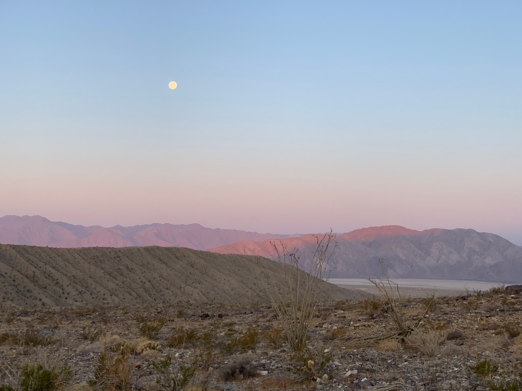
Setting moon 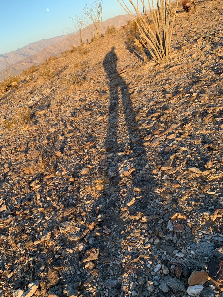
Morning shadow 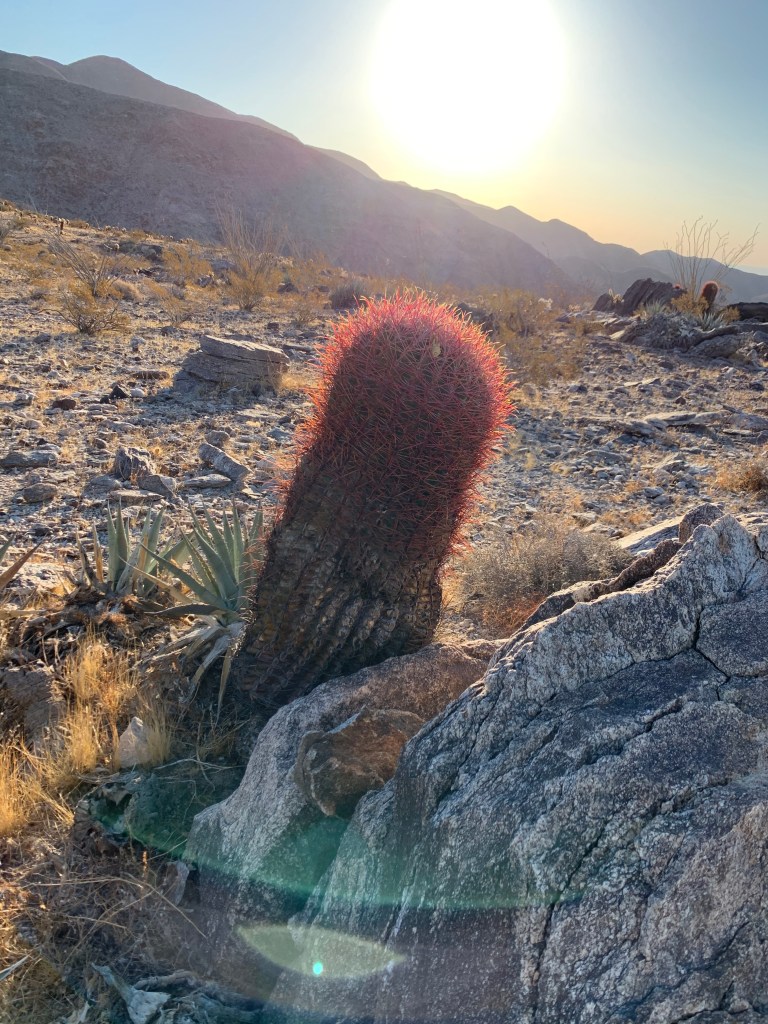
Barrel cactus 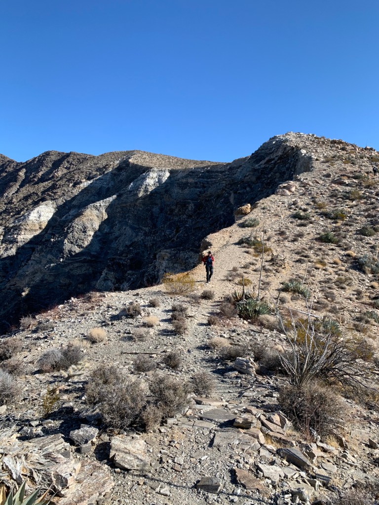
Bit of a cliff to the west… 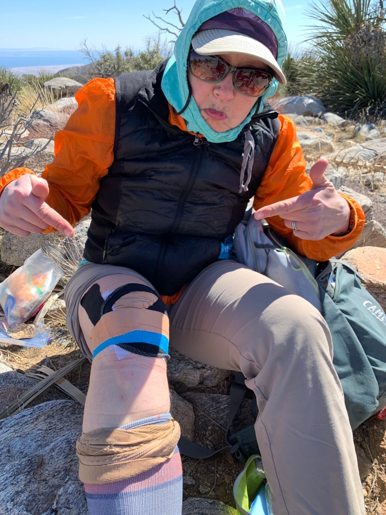
Ok yeah let’s start this taping job over… 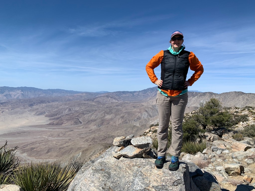
We made it! 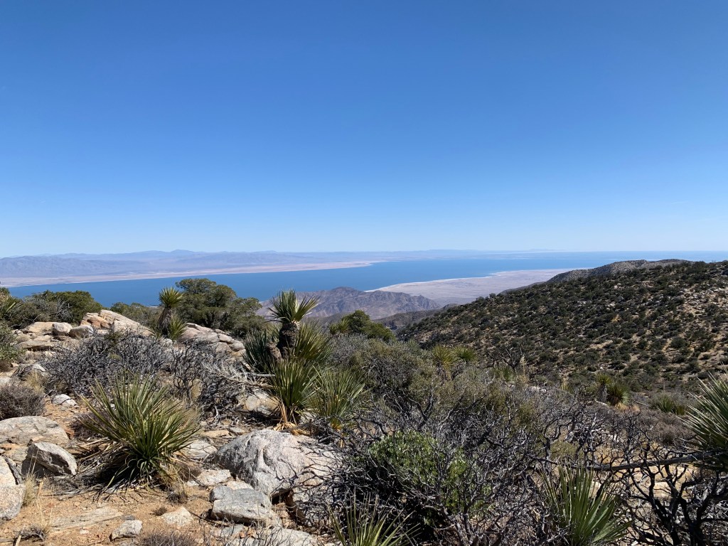
Salton Sea 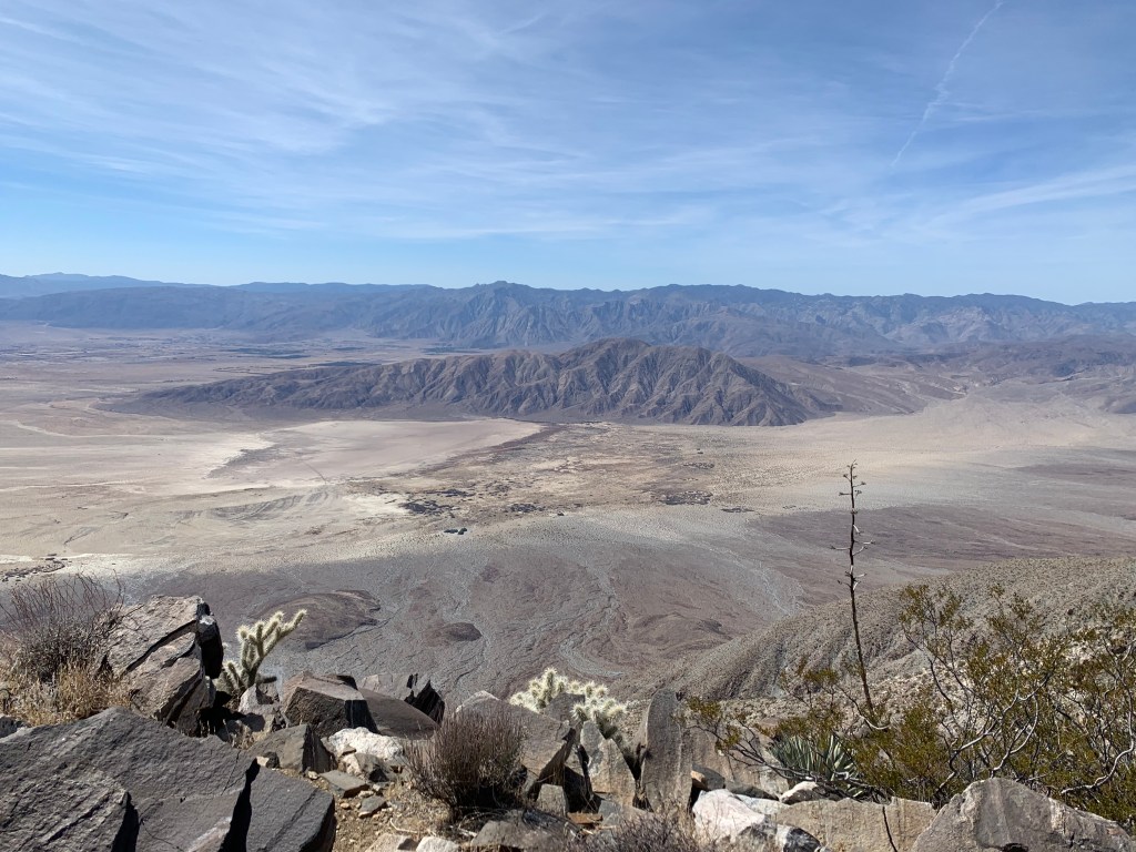
Looking down on Coyote Mountain – it looks so tiny and cute! 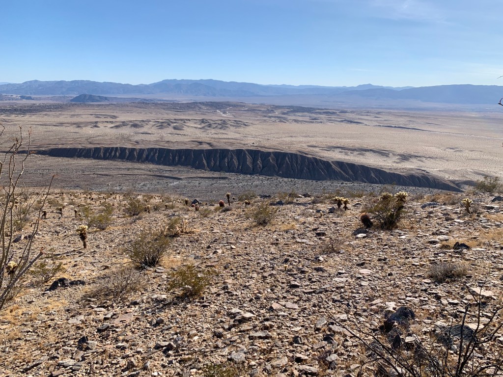
Lute Ridge fault scarp

Love it!! Thank you for sharing the trail with me. Many more adventures to come. ❤️❤️